
Eclipse Bulletin: Total Solar Eclipse of 2017 August 21
By Fred Espenak and Jay Anderson
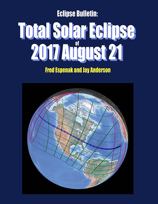

Description
On Monday, 2017 August 21, a total eclipse of the Sun will be visible from the contiguous United States for the first time since 1979. The track of the Moon's umbral shadow begins in the Pacific Ocean and crosses the nation from west to east through Oregon, Idaho, Wyoming, Nebraska, Kansas, Missouri, Illinois, Kentucky, Tennessee, Georgia, North Carolina, and South Carolina. Inside the 70-mile-wide path of totality, the Moon will completely cover the Sun as the landscape is plunged into an eerie twilight, and the Sun's glorious corona is revealed for nearly 3 minutes. Outside the narrow shadow track, a partial eclipse will be visible from all of North America.
Eclipse Bulletin: Total Solar Eclipse of 2017 August 21 is the ultimate guide to this highly anticipated event. Written by two of the leading experts on eclipses, the bulletin is a treasure trove of facts on every conceivable aspect of the eclipse. The exact details about the path of the Moon's shadow can be found in a series of tables containing geographic coordinates, times, altitudes, and physical dimensions. A set of high resolution maps plot the total eclipse path across the USA. They show hundreds of cities and towns in the path, the location of major roads and highways, and the duration of totality with distance from the central line. (Click here to see a sample map)
Local circumstances tables for more than 1000 cities across the USA provide times of each phase of the eclipse along with the eclipse magnitude, duration and Sun's altitude. Additional tables cover the eclipse circumstances for cities in Canada, Mexico, Central and South America and Europe. (Click here to see a sample table of local circumstances). An exhaustive climatological study identifies areas along the eclipse path where the highest probability of favorable weather may be found. A travelogue highlights key locations in the eclipse track from Oregon through South Carolina. Finally, comprehensive information is presented about solar filters and how to safely observe and photograph the eclipse.
For 15 years, Fred Espenak and Jay Anderson published more than dozen eclipse bulletins through NASA, each one covering a major upcoming solar eclipse. Prepared in cooperation with the International Astronomical Union, the bulletins were internationally recognized as the most authoritative reference for each eclipse. The team has reunited to produce this new bulletin on the 2017 total eclipse through the USA. And now, for the first time, the bulletin is available in both black & white and color editions.
About the Authors
Click the following link to read a brief biography on the authors Fred Espenak and Jay Anderson.
You can order a copy 2017 Eclipse Bulletin autographed by Fred Espenak through Autographed Copy.
- Table of Contents
- Page from Detailed Eclipse Maps
- Page from Local Circumstances Tables
Eclipse Bulletin: Total Solar Eclipse of 2017 August 21 - Sample pages
Reviews
Visit the following links to read recent reviews of the Eclipse Bulletin: Total Solar Eclipse of 2017 August 21.
- A great resource for the upcoming eclipse - Mike Reynolds (Astronomy Magazine).
- Review of Eclipse Bulletin: Total Solar Eclipse of 2017 August 21 - Joe Rao (GreatAmericanEclipse.com).
Errata
This is a list of errata in versions 1.0a, 1.0b and 1.0c (as of 2015 Jul 21). They have all been corrected in the current version 1.0d.
Also Available!
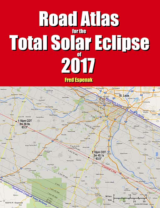
Road Atlas for the Total Solar Eclipse of 2017
The Road Atlas for the Total Solar Eclipse of 2017 is a complementary publication of the 2017 Eclipse Bulletin. It contains a comprehensive series of 37 high resolution, full color maps of the path of totality across the USA.
The large scale (1:700,000 or 1 inch = 11 miles) shows both major and minor roads, towns and cities, rivers, parks, and mountains.
Armed with this atlas and the latest weather forecasts, the road warrior is ready to chase totality no matter where it takes him/her along the 2500-mile-long path. This mobile strategy offers the highest probability of witnessing the spectacular 2017 total eclipse in clear skies.
For more information visit Road Atlas for the Total Solar Eclipse of 2017.
Total Eclipse or Bust! A Family Road Trip
TOTAL Eclipse or Bust! A Family Road Trip is a book for the entire family. The story follows a typical family on a road trip to see the 2017 total eclipse of the Sun. Along the way the children learn all about the how and why of eclipses in a friendly and an uncomplicated way. The book also provides basic information about how to view a total solar eclipse and where to go for America's great eclipse on August 21, 2017.
Finally, comprehensive information is presented about solar filters and how to safely observe and photograph the eclipse.
For more information visit Total Eclipse or Bust! A Family Road Trip.
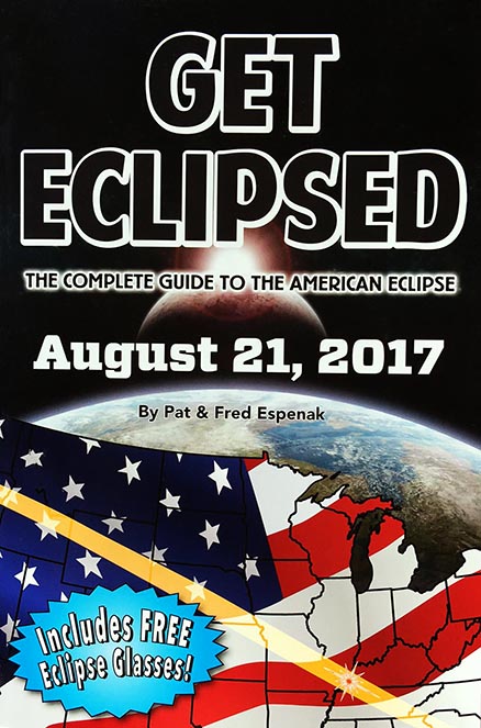
Get Eclipsed: The Complete Guide to the American Eclipse
Get Eclipsed is an easy to read, family friendly, inexpensive 2017 eclipse guide for everyone, especially if the total eclipse of the Sun on August 21, 2017 will be your first one.
Get Eclipsed features:
- How and Why Solar Eclipses Happen
- Science and History of Solar Eclipses
- Fun Facts for the Entire Family
- Helpful Hints for Safe Viewing
- Illuminating Maps and Diagrams
- Eclipse times for over a hundred cities
- Two (2) pairs of Solar Eclipse Glasses
For more information visit Get Eclipsed: The Complete Guide to the American Eclipse.
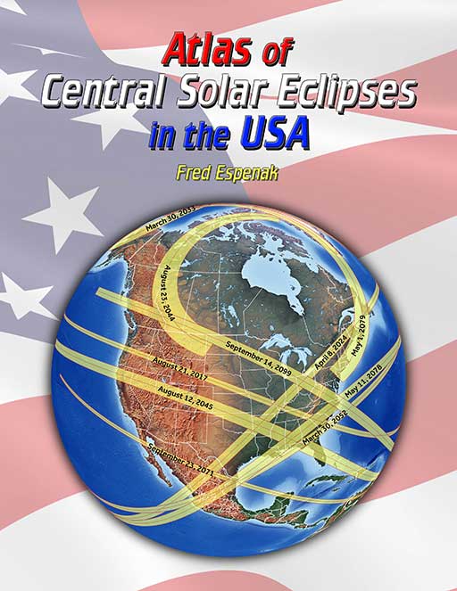
Atlas of Central Solar Eclipses in the USA
The Atlas of Central Solar Eclipses in the USA contains of a series of 499 global maps showing the geographic track of every total and annular solar eclipse across the USA (including Alaska and Hawaii) during the two-thousand-year period 1001 through 3000. It is accompanied by a catalog that lists the major characteristics of each eclipse including its duration and whether it is visible from the lower 48 states, Alaska and/or Hawaii.
A set of 20 detailed maps, each covering a 50-year period and centered on the lower 48 states, shows the path of every total and annular eclipse. The maps include state boundaries and major cities. These maps also cover southern Canada and northern Mexico.
For more information visit Atlas of Central Solar Eclipses in the USA.